Who We Are
CivilSurv is built on more than two decades of experience across the civil construction industry in both Europe and Australia. Our team of land and construction surveyors brings a deep understanding of the complexities involved in delivering safe, compliant, and accurate surveying for major infrastructure projects.
With extensive knowledge of Rail requirements and RMS road construction standards, we provide the technical confidence our clients need to progress through each stage of their project with clarity and assurance.
As a company, we combine advanced surveying technology with proven industry expertise to deliver work that stands up to the highest levels of scrutiny. Whether we're supporting large-scale road upgrades, rail realignments, or detailed engineering surveys, CivilSurv is committed to precision, reliability, and operational excellence.
We believe great projects start with great data and our mission is to provide exactly that.
We’re ISO Certified - You Can Trust Our Quality


Our Services
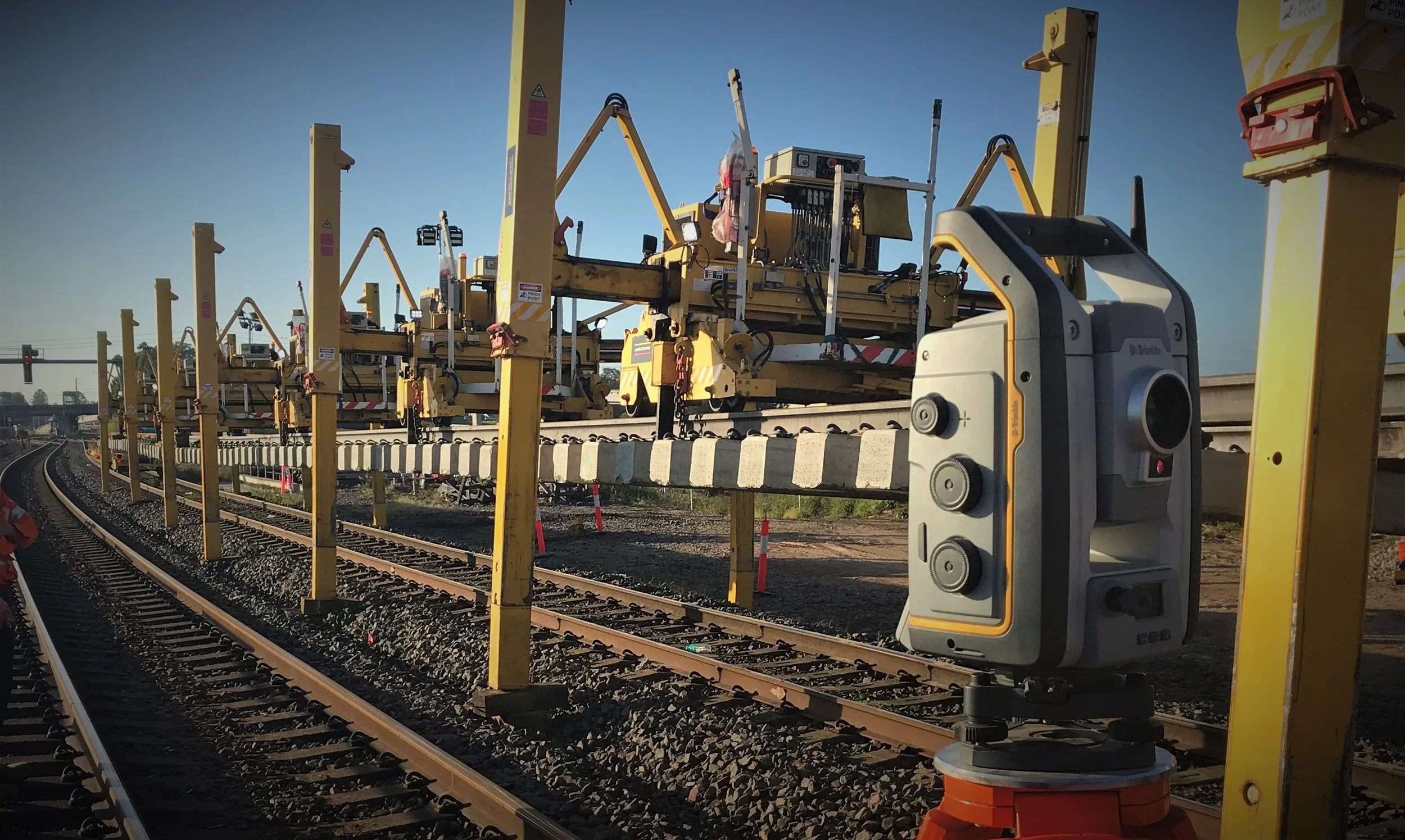
Control Surveys
Establishing precise reference points essential for all subsequent construction, rail, and road works. The foundation of accurate project execution.
Rail Surveys & Track Compliance
Specialised surveys for track geometry, alignment, and compliance. Supporting upgrades, maintenance, regrading, and new rail infrastructure.
Road Surveys
Detailed surveying for road design, reconstruction, and widening — ensuring safe, compliant, and efficient outcomes for every stage.
Detail & Engineering Surveys
High-resolution spatial data for engineering design, planning, earthworks, and site development.
Digital Terrain Modelling
3D terrain models and surface mapping that support design, earthworks planning, drainage analysis, and feasibility assessments.
Construction Surveys (Set-outs)
Precise positioning and set-out for civil, structural, rail, and road construction ensuring every element is built exactly as designed.
CAD Drafting & Plans
Clear, detailed drafting for engineers, designers, and contractors — delivered in the required formats for efficient project integration.
Track Realignments & Regradings
Surveying support for modifying track geometry, correcting alignment, and improving performance across rail networks.
GNSS Surveys
GNSS is a satellite-based navigation system, it consists of a network of satellites and ground-based control stations that provide precise location and timing information locally and globally.
Contact Us
Interested in working together? Fill out some info and we will be in touch shortly. We can’t wait to hear from you!